1. Introduction
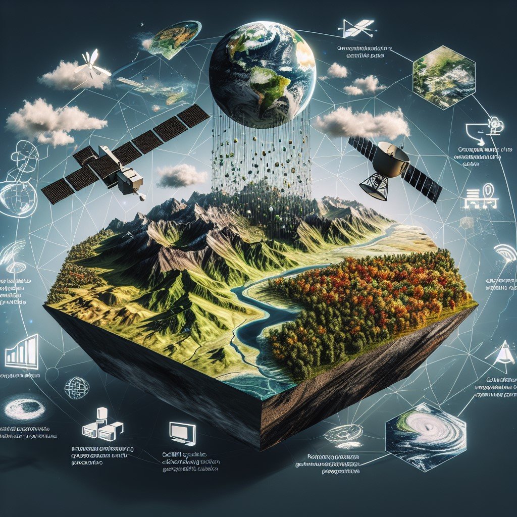
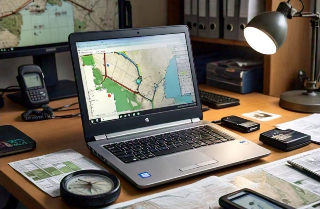
OpenStreetMap (OSM) is an open-source, collaborative mapping project that provides free geographic data to anyone. Unlike proprietary maps, OSM relies on volunteers worldwide to create and update maps, making it a valuable resource in dynamic situations such as disaster management. Accurate and up-to-date geographic data is crucial for emergency responders, humanitarian organizations, and affected communities when disasters strike. OSM plays a vital role by offering real-time updates, facilitating rescue operations, and improving coordination in disaster-affected regions.
2. History of OSM
OSM was founded in 2004 by Steve Coast as a response to restrictions on free GIS data in the UK. Initially, volunteers collected geographic data using GPS devices and manually digitized maps. The project saw significant growth with the availability of aerial imagery and large-scale participation from the global mapping community.
Over time, OSM has played a key role in responding to major disasters. The 2010 Haiti earthquake marked a turning point when volunteers worldwide mapped Port-au-Prince, providing critical data for rescue operations. Similarly, OSM was used during the 2015 Nepal earthquake and other crises, solidifying its place in disaster management. These efforts demonstrated the power of crowdsourced mapping in responding to emergencies.
3. OSM and Disaster Management
Disasters often render traditional maps outdated, making it difficult for relief teams to navigate affected regions. OSM overcomes this challenge by allowing rapid, real-time updates through crowd-sourced contributions. It provides a platform where volunteers, governments, and humanitarian organizations collaborate to improve situational awareness and response effectiveness.
How OSM Helps in Disaster Response
- Real-Time Updates: Volunteers worldwide add missing roads, buildings, and critical infrastructure in disaster-affected areas, enabling faster decision-making.
- Open Data Access: OSM provides freely available data to humanitarian organizations, NGOs, and government agencies, ensuring accessibility for all stakeholders.
- Improved Navigation & Logistics: Updated maps help emergency responders locate affected areas, medical facilities, and safe routes, improving response times.
4. Tools and Technologies Supporting OSM in Disaster Management
Several tools enhance OSM’s effectiveness in disaster management by enabling better coordination, mapping, and data collection.
- Humanitarian OpenStreetMap Team (HOT): A dedicated group that organizes volunteer mappers to assist in crisis response. HOT works closely with NGOs and government agencies to map affected regions quickly.

Website of HOT: https://www.hotosm.org/
- MapSwipe: A mobile app that allows users to mark affected areas by analyzing satellite imagery, helping prioritize mapping efforts.

The web portal of MapSwipe: https://mapswipe.org/en/
- Tasking Manager: A coordination platform where volunteers can efficiently divide tasks to map specific disaster zones, ensuring systematic coverage.

Photo source: https://www.hotosm.org/tech-suite/tasking-manager/
- Field Papers & OpenMapKit: These tools enable offline data collection in areas with limited internet connectivity through field data and paper maps, making it easier to map remote disaster-affected regions.

Source: https://fieldpapers.org/atlases

Source: https://www.iadb.org/en/who-we-are/topics/urban-development-and-housing/openmapkit
5. Case Studies
Real-world applications of OSM in disaster management highlight its effectiveness and impact.
2010 Haiti Earthquake
After the devastating earthquake, OSM volunteers rapidly mapped Port-au-Prince using satellite imagery. The newly mapped roads and damaged infrastructure helped humanitarian groups like the Red Cross and UN agencies coordinate relief efforts more effectively. The success of this initiative set a precedent for future disaster response efforts using OSM (Zook et al., 2010).
2015 Nepal Earthquake
The Nepal earthquake resulted in widespread destruction. OSM contributors mapped thousands of buildings and roads, supporting search-and-rescue operations and aid distribution. The comprehensive mapping efforts helped relief organizations reach affected communities faster (Poiani et al., 2016).
COVID-19 Response
During the COVID-19 pandemic, OSM was used to visualize affected areas, track healthcare facilities, and assist in logistics for vaccine distribution. The ability to map critical resources in real-time proved essential in managing the pandemic response (Bernasconi & Grandi, 2021).
6. Challenges and Limitations
Despite its benefits, OSM faces several challenges in disaster management:
- Data Accuracy Issues: Since OSM is volunteer-driven, some contributions may contain errors or outdated information, requiring validation.
- Lack of Internet Access: Many disaster-struck regions have poor connectivity, limiting real-time updates and requiring offline mapping solutions.
- Sustainability: While OSM is highly effective in immediate disaster response, maintaining updated maps post-disaster remains challenging due to reduced volunteer engagement.
7. Future Trends and Innovations
As technology advances, several innovations can further enhance OSM’s role in disaster management:
- AI & Machine Learning: Automated detection of damaged infrastructure using satellite imagery can speed up mapping efforts and improve accuracy.
- Blockchain for Data Verification: Ensuring data credibility by maintaining a decentralized, tamper-proof record of map edits, reducing misinformation risks.
- Increased Government & NGO Collaboration: Governments and international organizations are recognizing OSM’s potential, leading to better integration into disaster response planning and policymaking.
8. Conclusion
OpenStreetMap has proven to be an invaluable resource in disaster management. Its open-source nature and global volunteer community enable real-time mapping and data sharing, helping responders and organizations navigate crises effectively. As technology evolves, the role of OSM in disaster management is expected to expand, ensuring better preparedness and more efficient humanitarian efforts. By leveraging advanced tools, increasing collaborations, and integrating emerging technologies, OSM can continue to be a game-changer in global disaster response strategies.


