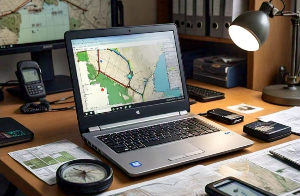
Introduction to GIS Data Management
There are various GIS data formats involved in GIS data management. The key vector data formats include Shapefile, which stores geometry and attribute information across multiple files. The File Geodatabase is a more advanced format used in GIS applications, offering capabilities beyond simple storage. For example, in a city planning project, a file geodatabase can store multiple feature classes such as roads, buildings, and land parcels. Each feature class has its own geometry (points, lines, or polygons) and attributes.
For raster data management, common formats include Imagine files and the widely-used GeoTiff, both suitable for high portability and platform independence. Geodatabases also support raster data, enabling efficient processing and image mosaicking. Managing these formats in ArcGIS is critical for smooth project operations, especially when handling map projects with multiple file dependencies.
Why is GeoPackage becoming so popular?
The GeoPackage, built on the SQLite database, is gaining popularity because of its compact and non-proprietary nature. For example, a city planning department may use a GeoPackage to store all data related to urban infrastructure in a single file. This file can include vector data like building footprints and road networks and raster data like elevation models or aerial imagery. Unlike other formats that require multiple files (such as shapefiles), a GeoPackage consolidates everything into one portable file, making it easier to share and transfer across platforms like QGIS, ArcGIS, and R. This compactness also means that metadata, spatial reference systems, and attribute data are stored efficiently, enabling faster data retrieval and reducing the complexity of managing multiple files.

Why do small businesses need GIS data management?
Effective geographic information system (GIS) data management can help small firms in today’s competitive market. They can optimize sites, improve operational efficiency, and analyze client demographics thanks to GIS. For example, transportation organizations can optimize delivery routes to reduce costs, and retail chains can choose the best locations for their stores based on customer behavior. By incorporating GIS into their operations, small businesses can make data-driven choices, allocate resources more efficiently, and increase customer satisfaction. Additionally, GIS helps small businesses identify market trends and improve their offerings by supporting better planning and strategic activities. After considering these factors, effective GIS data administration enables small businesses to expand, compete, and thrive in their niches.
Best Practices for GIS Data Management
Organize Datasets with Metadata
Add metadata to every dataset, including details like data source, format, geographical coverage, and update frequency. This improves accessibility and transparency across departments. For example: A city planning department maintains a database of land parcels. Each parcel dataset includes metadata such as date of collection, source (satellite or survey), coordinate system (WGS 1984), update frequency (monthly), and land use category. This helps staff quickly find the right dataset for zoning projects.
Regular Data Updates
Schedule regular data updates and cleaning sessions to maintain the accuracy and relevance of GIS datasets. Remove outdated or redundant data. For example, an agriculture firm collects satellite imagery for crop monitoring. The data is refreshed every week during the growing season to ensure farmers get up-to-date information about crop health, helping optimize irrigation schedules and pesticide application.
Implement Version Control
The version control system that is used to track changes in datasets is crucial for effective GIS data management to ensure data integrity and prevent duplication. For example, a GIS team working on a transportation project tracks changes to road networks using a version control system. When new roads are added, old maps are preserved, allowing engineers to compare past and current versions of road designs and prevent errors.
Cross-Department Collaboration
The formation of a technical guidance committee with representatives from different departments to foster collaboration and share knowledge about GIS data needs and usage. In a utility company, representatives from the asset management, environmental, and engineering departments meet quarterly to discuss how GIS data can better serve their needs. They share resources, preventing duplicate data collection efforts for things like utility poles or underground infrastructure.
Tools and Software for Geospatial Data Management
Managing geospatial data requires specialized tools and software that provide efficient storage, processing, and analysis of spatial information. Popular desktop GIS software like QGIS, ArcGIS Pro, and GRASS GIS offers a wide range of functionalities for mapping and spatial analysis. For satellite imagery and remote sensing data, tools like SNAP, ENVI, and Orfeo Toolbox provide advanced image processing capabilities.
For web-based geospatial data sharing, servers like GeoServer and ArcGIS Server allow organizations to publish and share data using OGC-compliant web services. PostGIS and SpatiaLite enhance databases with spatial extensions, making it easier to store and query geospatial data. Additionally, web client libraries such as Leaflet, OpenLayers, and CesiumJS enable the development of interactive web maps, further enhancing geospatial data visualization and analysis capabilities. These tools form an essential ecosystem for efficient geospatial data management across diverse industries.
Conclusion
Effective geospatial data management is essential for organizations across various sectors to make informed decisions, optimize processes, and drive innovation. The wide array of tools and software available—ranging from desktop GIS applications like QGIS and ArcGIS Pro to web-based services like GeoServer and spatial databases like PostGIS—enables comprehensive data collection, analysis, and visualization. As the demand for spatial data grows, these tools are becoming more sophisticated, offering enhanced integration with cloud platforms and artificial intelligence (AI) capabilities.
In the future, trends like AI-driven spatial analysis, real-time geospatial data processing, and the integration of Internet of Things (IoT) sensors will shape how organizations use geospatial information. Moreover, advancements in 3D mapping, augmented reality (AR), and virtual reality (VR) will redefine how spatial data is visualized and interacted with, offering immersive, dynamic experiences for both professionals and the general public. Geospatial data management is on the cusp of significant transformation, empowering organizations to unlock new possibilities for innovation, sustainability and strategic growth.


