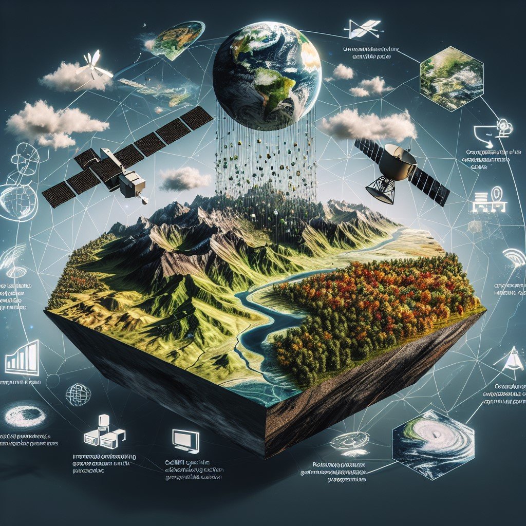
Geographic Information System (GIS) is a powerful technology that allows us to collect, store, manage, analyze, and present spatial or GIS data. It provides a framework for understanding our physical environment’s patterns, relationships, and trends. It contains the location reference for all data. It doesn’t just tell us where things are; it also reveals why they are there and how they relate to each other. By integrating maps with descriptive information, GIS allows us to uncover patterns and relationships that aren’t immediately obvious.
GIS has become essential in various fields, including urban planning, environmental monitoring, disaster management, and resource allocation. At its core, GIS combines spatial data (information tied to locations on the Earth’s surface) with attributes (non-spatial information). By integrating these two components, GIS enables us to create, visualize, and analyze maps and geospatial data. This multidimensional approach to data provides valuable insights and enhances decision-making processes.
The Building Blocks of GIS Data: How Does It Work?
To truly grasp the power of GIS, we need to understand the fundamental concepts behind this technology:
- Features: Geographic features like roads, rivers, and land parcels are represented as points, lines, or polygons, each with precise coordinates to locate them on Earth.
- Layers: GIS data uses different layers, each representing different features or attributes, like one layer for the geographical location, another for its population density, and another for the roads on it, which can be combined to create detailed maps.
- Attributes: Every geographic feature in GIS is linked to attribute descriptive information like population density, land use, or elevation.
The below figure illustrates the point, line, and polygon feature layers
This structured approach enables users to view and analyze geographic phenomena in ways that were unimaginable previously.
Vector vs Raster Data: A Closer Look
- Vector data: Composed of points, lines, and polygons, vector data is ideal for representing precise geographic features like roads or property boundaries.
- Raster data: Comprised of pixels or grid cells, raster data is often used for representing continuous data like satellite imagery, terrain models, or temperature gradients.
Both data types are essential for visualizing and analyzing the world around us.
Applications of GIS Data
The applications of GIS data span nearly every industry and field of study. Here are some key areas where GIS is transforming the way we interact with the world:
- Urban Planning: GIS helps planners design more efficient cities by analyzing infrastructure, population distribution, and transportation networks.
- Environmental Conservation: Conservationists use GIS to track biodiversity, monitor ecosystems, and plan sustainable land use.
- Disaster Management: During natural disasters, GIS provides real-time data to aid in rescue and recovery efforts, predicting the spread of wildfires, floods, or hurricanes.
- Healthcare and Epidemiology: GIS assists in mapping disease outbreaks, optimizing the locations of healthcare facilities, and planning vaccination drives.
GIS Technology:
GIS is built upon a strong technological foundation, consisting of hardware, software, data, and skilled professionals. Here’s how it all comes together:
- Hardware: High-performance computers, servers, and storage systems are necessary to handle the vast amounts of spatial data that GIS relies on.
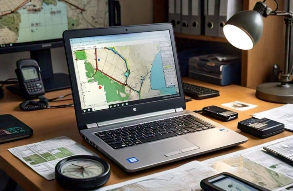
- Software: GIS platforms like ArcGIS and QGIS enable users to manipulate and analyze geographic data, creating custom maps, models, and visualizations.
- Programming: Programming Languages like Python and JavaScript are intensively used tool to automate GIS tasks and to build customized GIS-based software applications.
- Skilled Personnel: Behind the software are GIS professionals trained to derive meaningful insights from spatial data through techniques like spatial analysis and geoprocessing.
GIS Tools and Analysis
GIS tools perform a wide range of functions to provide insights into geographic data. Here are some of the most commonly used tools:
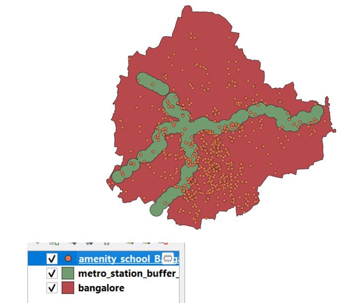
- Proximity Analysis: Identifies the closest facilities or points of interest to a given location.
- Network analysis optimizes route planning and navigation for efficient transportation and logistics.
- Spatial Interpolation: Estimates unknown values at unsampled locations using nearby data points.
- Geocoding: Converts addresses into geographic coordinates, making it easier to integrate various datasets into a single map.
The Role of Satellite Imagery in GIS
One of the most powerful sources of GIS data comes from satellite imagery. Satellites orbiting the Earth capture high-resolution images across various electromagnetic spectrums, such as visible light, infrared, and microwave. These images form the basis for land use maps, vegetation monitoring, and disaster assessment. Using satellite imagery, GIS professionals can monitor environmental changes, assess the health of forests, and respond to natural disasters such as wildfires or floods in real time.
Spatial Analysis: Uncovering Patterns and Insights
The true power of GIS lies in its ability to perform spatial analysis, examining the relationships between geographic features to reveal hidden patterns and trends. Spatial analysis techniques include:
- Overlaying layers to find intersections or differences between geographic data.
- Buffering to create zones around points or lines, helping to assess proximity and influence.
- Hotspot analysis to identify areas with unusually high or low values is often used in crime mapping or disease tracking.
These tools allow organizations to make better decisions, improve efficiency, and plan for the future.
GIS: Shaping the Future
As the world faces challenges like climate change, urbanization, and resource management, GIS data is becoming more critical than ever. The future of GIS lies in its integration with augmented reality (AR), virtual reality (VR), machine learning (ML), and artificial intelligence (AI). These advancements will enable immersive, real-time visualizations and smarter, data-driven decision-making. From architects to city planners, professionals will use GIS-enabled AR/VR apps to visualize underground structures or design smart cities. Combined with ML and AI, GIS will predict future scenarios, optimize resource management, and drive sustainable development, shaping a more resilient and connected future.
Conclusion
GIS data has quickly become a vital part of our world, helping us make sense of complex data and the relationships between people, places, and the environment. From urban planning to disaster management, GIS data empowers us to make smarter decisions and uncover insights that might otherwise remain hidden. As we face new global challenges, whether it is climate change, resource allocation, or urban growth, GIS will continue to guide us, making our efforts more targeted, efficient, and impactful.
By embracing the power of GIS, we not only gain a deeper understanding of our world but also take a step closer to building a more sustainable and well-informed future. It’s a technology that’s not just shaping the present but also paving the way for the innovations of tomorrow.

Pingback: The role of OSM in Disaster Management: Tools and Techniques - Tech Scholar Club